
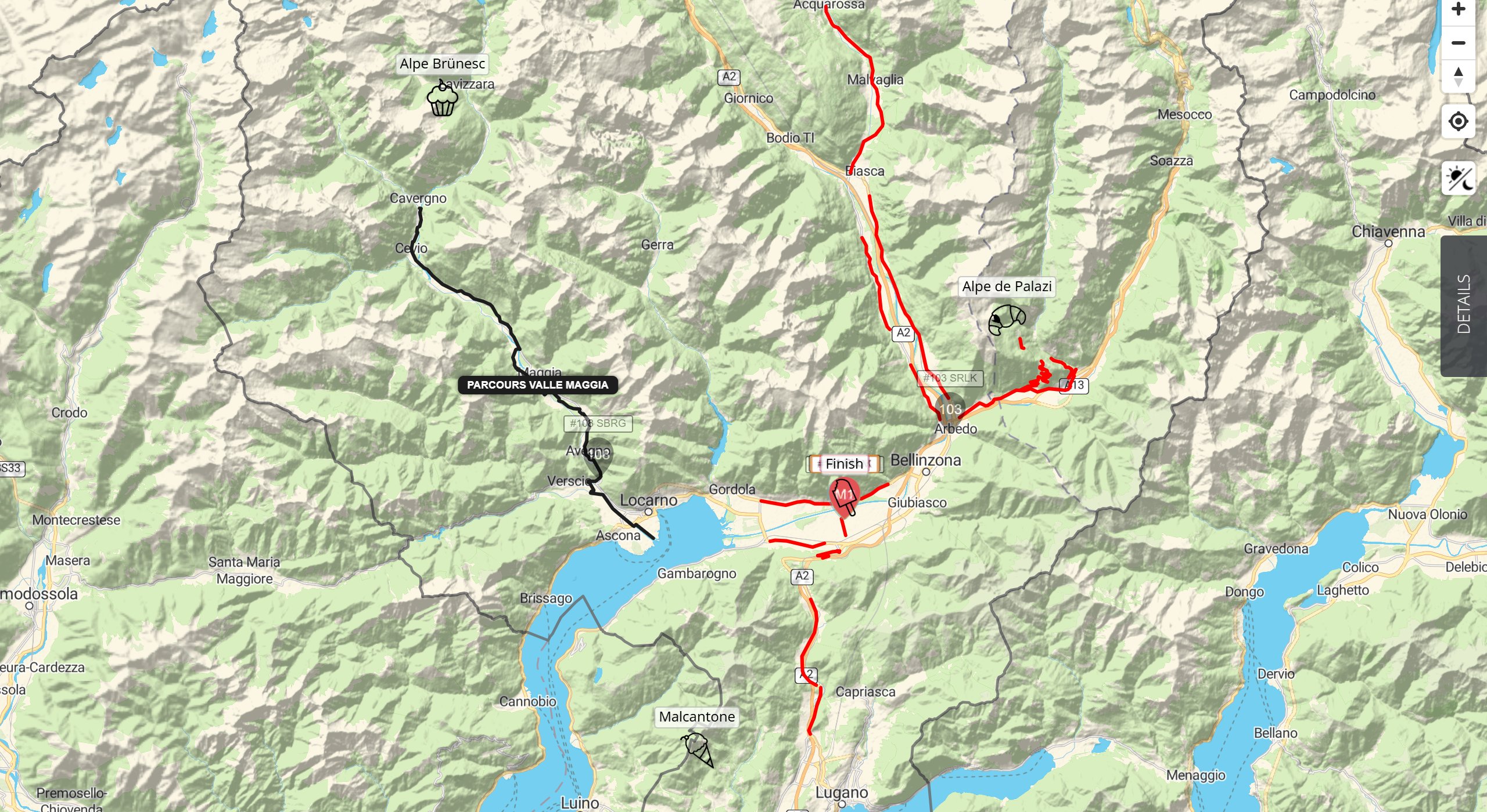
On some maps, especially free-route events where participants choose their own way, the map shows GPX segments. These are lines for parts of the course, for example a section participants must ride, or roads they mustn’t use. They’re there for reference only: the map doesn’t use them to work out anyone’s distance or position in the rankings.
How segments differ from routes
- Segments are lines on the map, often with a name label.
- Segments aren’t used in any calculations. No one’s distance is measured along a segment, and riding one doesn’t change anyone’s distance or ranking.
- Segments have no distance markers or unpaved sections.
- On some events, segments are hidden until a set time. See Delayed and Hidden Tracking.
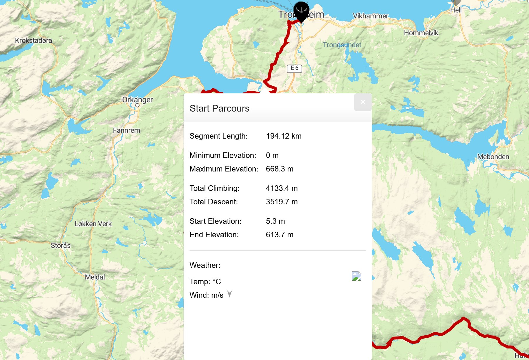
The segment pop-up
- On a computer, hover over a segment. It gets thicker and moves to the top, so you can tell it apart from any segments it overlaps.
- Click or tap the segment to open its pop-up.
- The pop-up shows the segment’s name, Segment Length, Minimum Elevation, Maximum Elevation, Total Climbing, Total Descent, Start Elevation and End Elevation. Below them is a Weather: section. These figures describe the segment itself, to help you picture the terrain. They’re for information only and aren’t used to work out participants’ distance or rankings.
- Click × to close it.
Showing or hiding segments
Open Tracks in the Filters. Each segment has its own tick box. Untick one to hide it.
When you might not see it
- Most fixed-route events don’t use segments. They have a route instead.
- On some events, segments appear only at a set time.
- If a segment has disappeared, check Tracks in the Filters.
Related articles
Last reviewed: October 2026