
The Live map is the first thing you see when you open a map. It shows each participant as a dot at their latest position, with the route, checkpoints and a column of map buttons in the top right.
The buttons open the mini map, zoom and rotate the map, show your own location, and switch on extras such as the elevation profile, the day/night layer and 3D view.
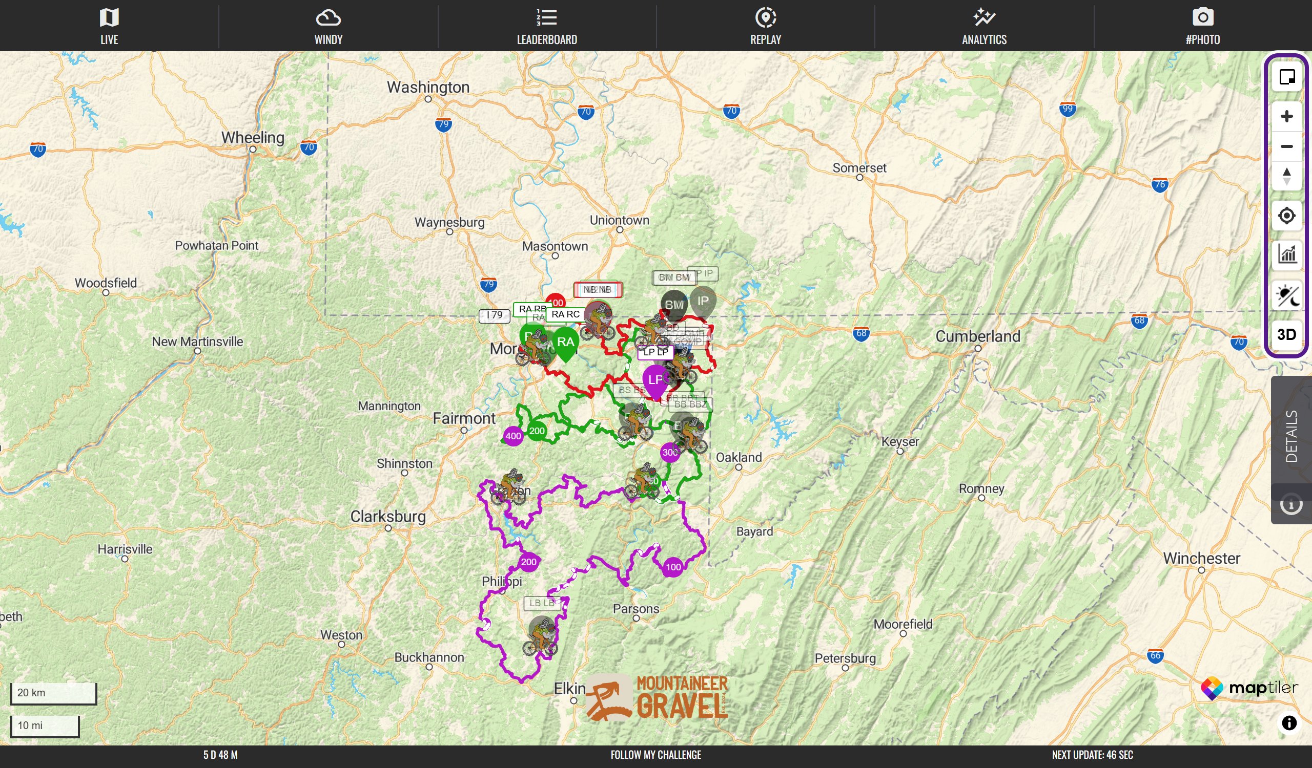
The map
- Map Layers: switch the base map, for example to satellite.
- Mini Map: keep a small floating map open while you do something else.
- Display your location: show where you are on the map.
- Day/Night Layer: see which parts of the map are in darkness.
- 3D View: tilt the map to see the terrain.
The route
- Routes: the course line on fixed-route events.
- Checkpoints: control points and the times participants reach them.
- Surface Detection: which parts of the route are unpaved.
- GPX Segments: visual route sections on free-route events.
- Elevation Profile: the climbs and descents along the route.
Participants
- Participant Dots: what the dots, names and colours mean.
- Records and FKTs: the ghost dot and record dashboard.
- Participant Pop-up & Track: click a dot for details and draw its track.
- Update Intervals and Overdrive Mode: how often dots move.
- Geofenced Participants: why a dot can be marked geofenced.
- Delayed and Hidden Tracking: delays, hidden routes and positions moved on purpose.
- Event-Specific Features: things only some maps have, such as SWITCH VIEW and embedded maps.
If something is missing
Some buttons only appear when the map has a route, and organisers choose some features. On a phone, some buttons are hidden to save space. See Troubleshooting.
Last reviewed: October 2026