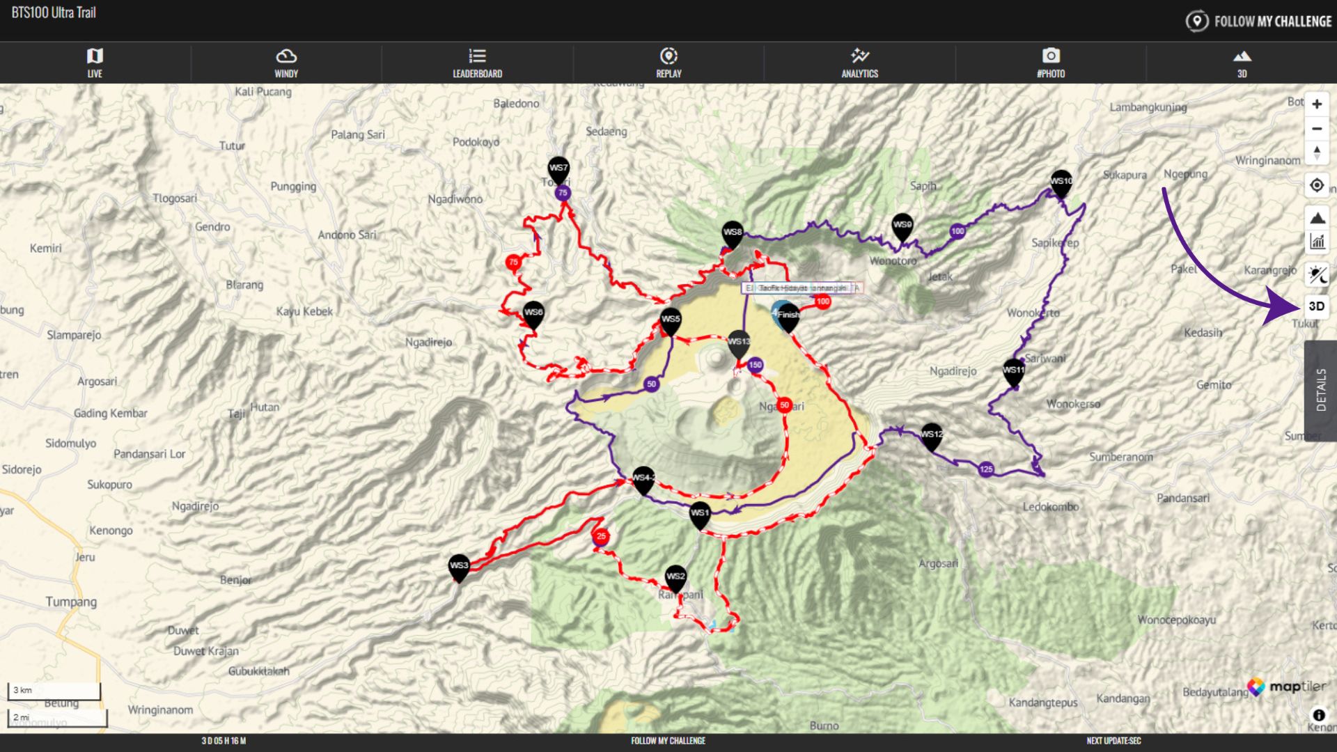
To switch the map to 3D mode, click on the 3D button in the top right of the screen. This retains the vector mapping by default, but you can switch the map layer via the Action Controls in the Details tab.
When you click the button, it will load the 3D data and shading, tilting the perspective of the map.
To adjust the angle of view or rotate the map, you can use two fingers to drag on mobile or hold down CTRL while clicking on PC or laptop.