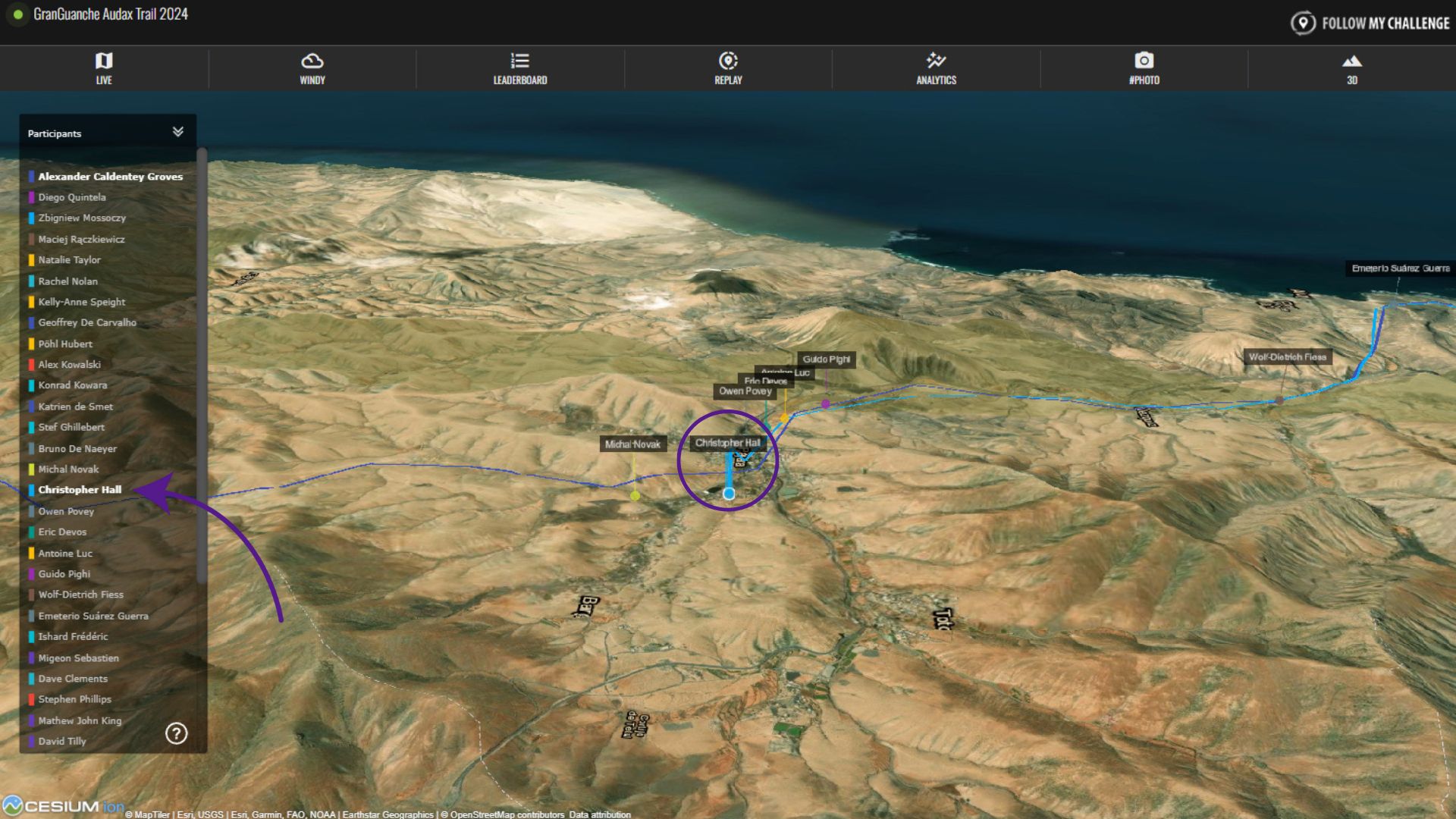
Please note that this is an older feature that is no longer added to new maps. To see the map in 3D satellite mode, instead use the 3D button and switch the map layer to satellite.
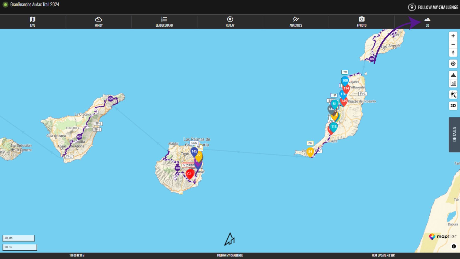
To open the 3D satellite layer, click on the “3D” tab at the top of the page. This opens a 3D view of the map overlaid with satellite imagery. This is distinct from the 3D button on the Live map, which instead switches the normal vector map to 3D mode.
This 3D view displays the participant list on the left of the screen, with the routes, checkpoints and participant dots still visible on the map. As this map layer relies on satellite imagery, it is relatively data heavy and may load slowly on poor connection or older devices.
Rotate & Tilt
To rotate and tilt the view, simply press CTRL while clicking on desktop. On mobile, drag two fingers on the screen to adjust.
Locate Participant
To located a participant, find their name in the list on the left and then click on it. This will centre the map on them.